
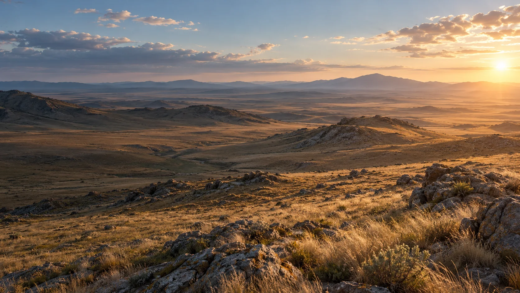
Illustrative visualization and sample data. No operational footage, measured telemetry, field accuracy, or deployment is represented.
Your browser is showing the accessible illustrated version of this story.
Preparing the interactive landscape…/ Illustrative scene
SKYVISION Intelligence Across the Landscape
Perception beyond the visible.
Across open steppe, a sensor sees more than a frame. This conceptual scene introduces how visual observations can be organized and reviewed.
The landscape and aircraft are original synthetic illustrations; they do not depict an operational flight.
/ Illustrative scene
An Eye Above the Terrain
A generic observation platform connects imagery, sensing, and edge processing.
A conceptual UAV carries an imaging payload and optional onboard computing. Its configuration is illustrative and does not identify a particular aircraft or validated hardware combination.
Platform components
Generic imaging payload, gimbal, and optional onboard compute module. The configuration is conceptual and requires separate hardware validation.
Generic synthetic aircraft illustration; no commercial platform is implied.
/ Illustrative scene
From Observation to Data
A sensor frame is the beginning of a contextual analysis.
The view shifts toward the sensor perspective. Scene framing helps explain how candidate imagery may enter a computer-vision workflow.
The simulated sensor view contains no real flight telemetry.
/ Illustrative scene
Understanding Wildlife Populations
Candidate detections can help structure wildlife observations for review.
Saiga-inspired animals move through the scene. Optional boxes and track labels visualize a possible counting workflow; a synthetic group is not a population estimate.
Animal models and all count, identifiers, and time labels are illustrative, not measured field results.
/ Illustrative scene
Detection Is Only the Beginning
Detection, region extraction, visual-language analysis, context verification, and structured output form distinct stages.
Select a stage to see how a candidate observation moves through an illustrative processing pipeline. A proposed class remains subject to context and human review.
Illustrative processing stages
An image or video frame is supplied by an approved sensor source.
{
  "event_type": "wildlife_observation",
  "object_class": "saiga",
  "count": 5,
  "verification": "pending_review"
}The displayed JSON and pipeline are explanatory examples, not a live system response.
/ Illustrative scene
Recognizing Early Warning Signals
Visual indicators such as smoke require context before they become an event.
Compare a clean landscape with an analysis view. A smoke-like visual cue is a candidate for review, not a confirmed fire or a claim of real-time detection.
Natural observation · candidate cues are not displayed.
Synthetic smoke and event data; no accuracy, speed, or confirmed incident is claimed.
/ Illustrative scene
Intelligence for Protected Environments
Spatial boundaries can provide context for observations that need careful review.
An illustrative route crosses a configured zone. The event indicates a possible rule-related condition only; presence does not establish intent or wrongdoing.
Potential rule-related event · context review required.
All people, routes, boundaries, and event states are synthetic. Consequential interpretation requires appropriate human and legal assessment.
/ Illustrative scene
Detecting Changes in the Environment
Comparing observations can help surface candidate vegetation change.
Move the comparison control between two synthetic landscape states. Visual change is not a diagnosis; identifying plant disease requires suitable sensors, models, and validation.
The before-and-after states are illustrative and do not represent a measured site.
/ Illustrative scene
Every Observation Has a Context
Location, time, orientation, and source can connect visual evidence to place.
Follow a simulated route and select observation points. Coordinate and telemetry fields are synthetic samples, not flight records.
Illustrative geospatial display; no real coordinates, route, or sensor readings are shown.
/ Illustrative scene
Intelligence Where the Data Is Collected
Processing may be arranged onboard, at a nearby station, or across connected systems.
Switch the conceptual architecture to highlight where imagery and candidate events could be processed. Compatibility depends on the selected hardware and requires separate validation.
Illustrative system architecture
Generic architecture illustration; no hardware deployment or compatibility certification is claimed.
/ Illustrative scene
From Signals to Decisions
Structured events support an operator review workflow.
Choose a sample event to inspect its evidence and status. Operator review remains important when observations may affect people, protected places, or consequential decisions.
Synthetic monitoring interface and events. The system does not make or enforce decisions in this illustration.
/ Illustrative scene
Intelligence Across Real Environments
From sensing to understanding.
The story returns to the wide landscape. Different markers represent potential application areas, not a claim that one deployed system monitors the whole region.
Conceptual closing scene; no active deployment is represented.